 Gallopa
Trail rides tracked with GPS
Rides out in the open: bridleways, forest tracks, beaches and hills, recorded with GPS from the first step to the last.
60 trail rides recorded by 49 riders, 615 km in total, average 10.2 km per ride. The longest is جولة at 40.0 km. Across these rides 13% of the moving time was trot and 8% was canter or gallop. Rides are near Carei, Ries, Lahbab, Noginsk-9, Sławno, Horst and more.
Latest trail rides
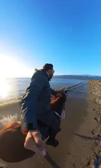
Salida de la mañana
Miguel on Star of bengal · 17 Nov 2026
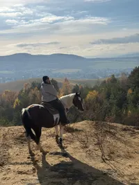
Nachmittagsritt
Maria on Pumuckl · 16 Nov 2026
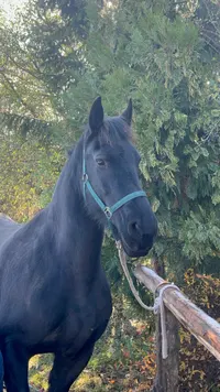
Afternoon Ride
Maggie on Loppy · 16 Nov 2026
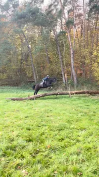
Odpolední vyjížďka
Vilma on Zaphir V & Asmara Š · 14 Nov 2026
What a public ride shows
Every ride here was recorded in the Gallopa app on an iPhone or Apple Watch and published by the rider. A ride page shows the GPS route coloured by gait, the distance, the moving time, the average and top speed, the climb, and how long the horse spent in walk, trot, canter and gallop. Riders can hide the start and end of a route, or the whole route, and a page only exists while the rider keeps the ride public.
Questions
How long is a typical trail ride here?
Across 60 trail rides the average is 10.2 km, and the longest is 40.0 km. 13% of the moving time was trot and 8% canter or gallop.
How is the time in each gait measured?
The Gallopa app fuses GPS speed with the phone's or watch's motion sensors: a trot bounces at two beats, a canter at three. Every second of a ride is labelled halt, walk, trot, canter or gallop, and the totals on each page are those seconds added up, not a rider's estimate.
How do I get my ride on this page?
Record the ride with Gallopa on iPhone or Apple Watch, then tap Publish on the finished ride. The page appears within minutes with the route, the distance and the time in each gait, and it disappears the moment you make the ride private again.